Critically, NISAR’s data will be publicly available. That means not only scientists and governments, but also nonprofits, local planners, and startups can build tools and services using the data.
The post The Satellite That Sees Earth Breathe: How NISAR Could Transform Sustainability From Space appeared first on Green Prophet.
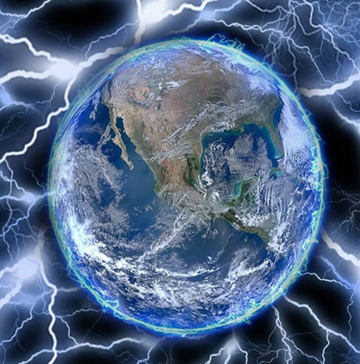
This satellite watches the earth breathe
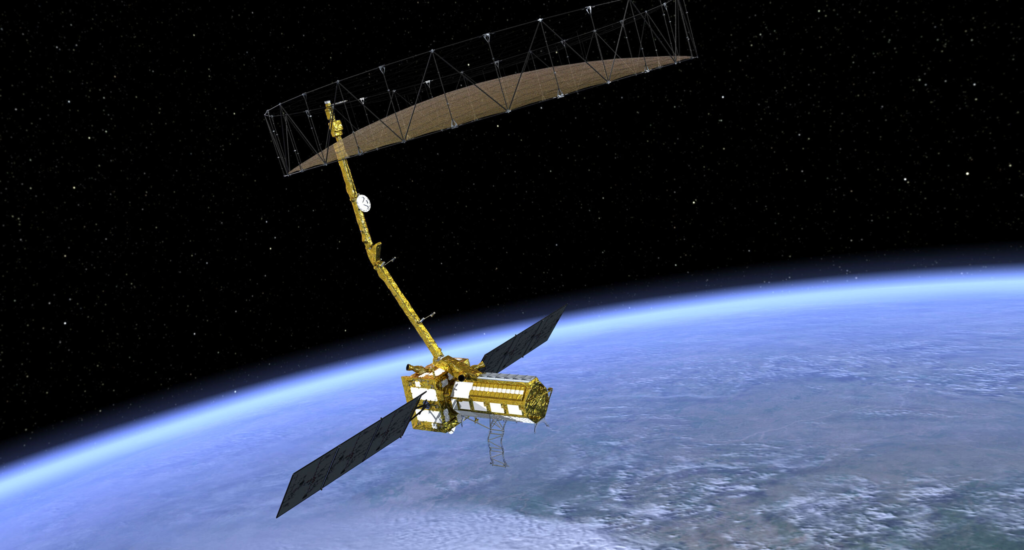
Last week, the most advanced Earth-mapping satellite ever built left Earth to watch over it. The joint NASA–ISRO Synthetic Aperture Radar (NISAR) satellite launched from India’s Satish Dhawan Space Centre into sun-synchronous orbit. This powerful radar sentinel will orbit the planet every 12 days, capturing changes on Earth’s surface in astonishing detail—down to a few centimeters—whether in daylight, darkness, or through thick clouds and vegetation.
Related: Make Sunsets geo-engineers climate with cooling credits
While the technology may sound like science fiction, NISAR’s mission is urgently practical: to track our changing planet and provide a planetary MRI scan every two weeks. The implications for climate, agriculture, disaster preparedness, and sustainable development are profound—and entrepreneurs are already eyeing the satellite’s open data streams as a platform for innovation.
Developed over a decade by NASA and the Indian Space Research Organisation (ISRO), NISAR is equipped with dual-frequency L- and S-band synthetic aperture radars, making it the first satellite of its kind. This unique combination allows it to detect subtle shifts in Earth’s crust, vegetation, ice sheets, and even groundwater levels.
Its potential applications are wide-ranging: In the Arctic, NISAR will track how fast Greenland and Antarctic ice sheets are melting.
In Indonesia or the Amazon, it will monitor deforestation, peatland collapse, and forest biomass.
In urban zones, NISAR can observe subsiding infrastructure, helping cities adapt to rising seas and overextraction of groundwater.
NASA’s Earth Science Division Director Karen St. Germain called it “the most advanced radar system for Earth observation we’ve ever put into orbit.”
For India, this is a leap into space-enabled environmental management. For a warming planet, data is power. By measuring the movement of glaciers, the expansion of wetlands, or the sinking of deltas, NISAR offers vital intelligence for managing climate adaptation and natural disasters.
Every region, from coastal cities to desert farms, is going to be impacted by changes NISAR can see coming,” says Karin Kloosterman, the editor of Green Prophet. This technology is like giving Earth a health checkup every two weeks. Existing startups in agtech, climate, solar, energy and mining will be improved with this robust new data. Thousands of exciting new opportunities in sustainable and clean tech await.”
Critically, NISAR’s data will be publicly available. That means not only scientists and governments, but also nonprofits, local planners, and startups can build tools and services using the data.
Entrepreneurs, take note. NISAR’s raw power is just the beginning—it’s what we do with it that matters. A few promising directions:
Disaster tech startups could build risk maps and alert systems for earthquakes, landslides, or floods based on ground deformation data.
Agri-tech companies can combine NISAR’s soil moisture and terrain maps with AI to help farmers in Africa or the Middle East optimize irrigation.
Climate risk insurers may use NISAR insights to assess premiums for homes near eroding coastlines or unstable hills.
Carbon credit marketplaces can verify reforestation or wetland projects through updated biomass assessments, ensuring transparency and accountability.
At a time when political uncertainty has cast doubt on future U.S. funding for Earth science missions, NISAR is a bright spot. But it could be among the last of NASA’s major Earth-monitoring projects for years if proposed budget cuts by U.S. lawmakers take effect.
Related: The history of drip irrigation
Still, the baton may be passing. By building collaborative platforms around satellites like NISAR, we can democratize access to Earth data and decentralize its benefits. In the face of floods, droughts, fires, and rising seas, it’s not just the scientists who will act—it’s technologists, policymakers, and concerned citizens who will rise to the challenge.
As climate change accelerates, our window to act narrows. With NISAR watching from above, we gain a clearer view of where the planet hurts—and where we still have time to heal.
The post The Satellite That Sees Earth Breathe: How NISAR Could Transform Sustainability From Space appeared first on Green Prophet.
Recommended Story For You :
Bringing Dead Batteries Back To Life Is Simple!

SEPTIFIX to the Rescue! Say Goodbye to Problems and Hello to Savings

Ecomposing of Paper Towels Produce Methane Gas

A Leading Cause Of Global Warming!
A cleaner world where energy is abundant essentially free

and sourced directly out of the inherent power of the space surrounding us.

MIT Discovery can cut power bills by 65%

Easy DIY Power Plan Will Change Our World Forever

Discover the World with Our Passionate Geography Teacher in Memphis!